
Fayl:Peru location map.svg

Size of this PNG preview of this SVG file: 492 × 599 пиксел. Basqa rezolyutsiyalar: 197 × 240 пиксел | 394 × 480 пиксел | 631 × 768 пиксел | 841 × 1024 пиксел | 1682 × 2048 пиксел | 2200 × 2679 пиксел.
Túp fayl (SVG fayl, 2200 × 2679 piksel belgilengen, fayldıń ólshemi: 15,72 MB)
Juwmaq
| Sıpatlama |
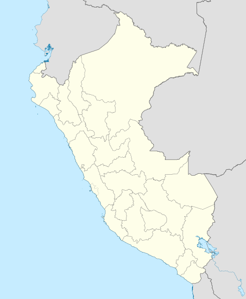
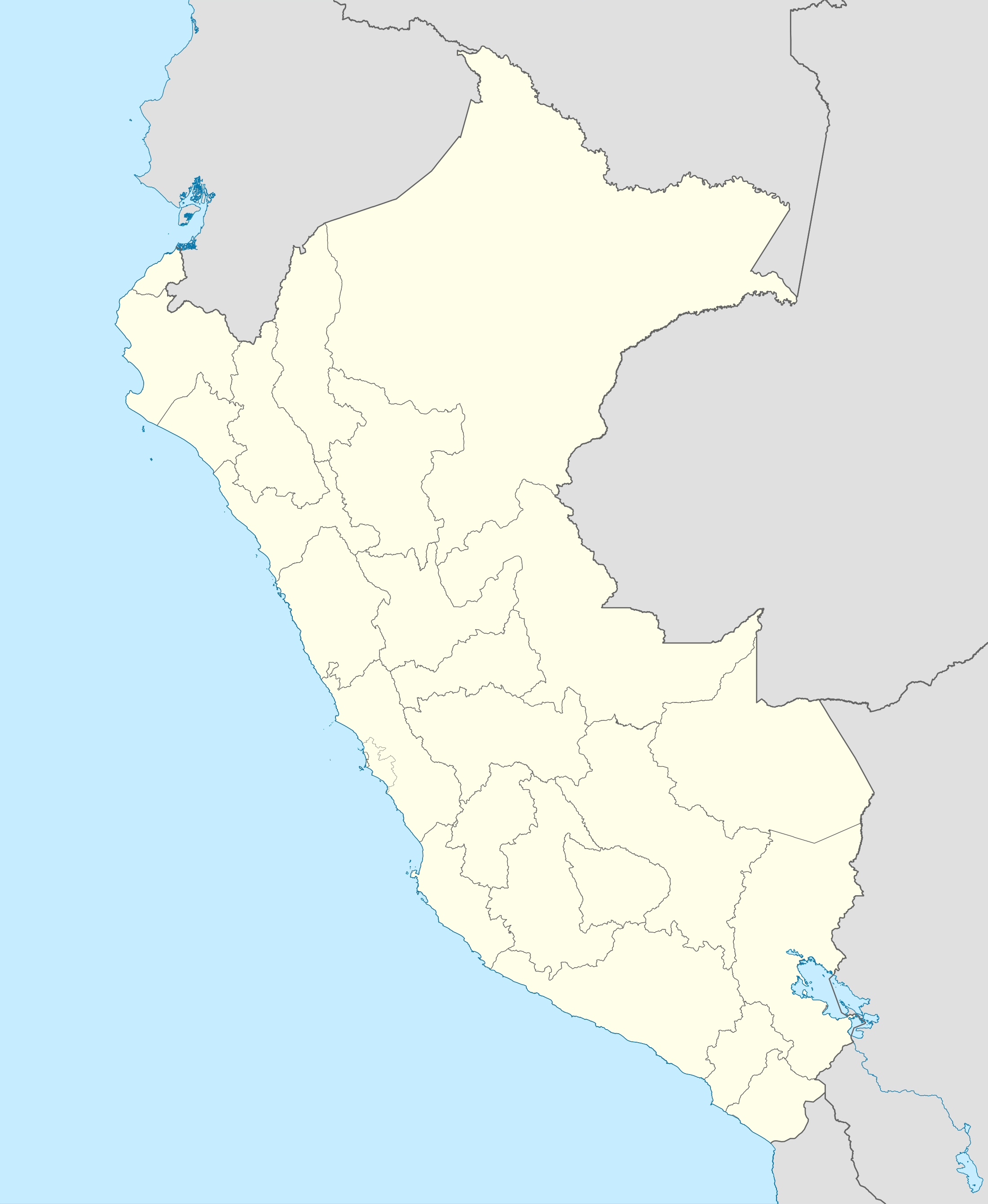
English: Blank political map of Peru
Equirectangular projection, Geographic limits of the map:
|
| Sáne | (UTC) |
| Fayl deregi | Peru_-_(Template).svg |
| Avtor | User:Spischot |
.svg)
| This is a retouched picture, which means that it has been digitally altered from its original version. Modifications: Changed style to conform location maps 2008. The original can be viewed here: Peru - (Template).svg:
|
Licenziyalaw
Мен бұл туындының авторымын, келесі лицензия аясында бұны жариялаймын:
Bul fayl Creative Commons tiykarında licenziyalanǵan org/licenses/by-sa/3.0/deed.en Attribution-Share Alike 3.0 Unported licenziyası.
- Siz bossız:
- Bólisiw – Jumıstı nusqalaw, tarqatıw hám uzatıw
- Remiks qılıw – Jumısqa beyimlesiw
- Tómendegi shártler tiykarında :
- atribut – Siz tiyisli kredit beriwińiz, licenziyaǵa siltemeni usınıwıńız hám ózgertiwler kiritilgenligin kórsetiwińiz kerek. Siz bunı hár qanday aqılǵa say jol menen etiwińiz múmkin, biraq licenziar sizdi yamasa siziń paydalanıwıńızdı maqullawın usınıs etetuǵın tárizde emes.
- birdey shártlerde taratıw – Eger siz materialdı remiks qılsańız, ózgertseńiz yamasa oǵan tiykarlansańiz, óz úleslerińizdi túp nusqadaǵı sıyaqlı birdey yamasa uyqas licenziya tiykarında tarqatıwıńız kerek.
Тұпнұсқа жүктеу журналы
This image is a derivative work of the following images:
- File:Peru_-_(Template).svg licensed with Cc-by-sa-3.0
- 2009-07-21T07:54:54Z Huhsunqu 820x1000 (1674312 Bytes) detail map
- 2009-07-15T06:39:44Z Huhsunqu 820x1000 (1396540 Bytes) ANCHOS
- 2009-07-06T05:07:34Z Huhsunqu 820x1000 (1398457 Bytes) {{Information |Description={{en|1=Blank political map of Perú}} {{es|1=Mapa plantilla de las regiones y departamentos del Perú.}} |Source=trabajo propio (own work) |Author=[[User:Huhsunqu|Huhsunqu]] |Date=2009-07-05 |Permis
Uploaded with derivativeFX
Fayl tariyxı
Aldın usı fayl qanday kóriniste bolǵanın kóriw ushin kún-ay/waqıt degendi basıń.
| Sáne/Waqıt | Miniatyurası | Ólshemleri | Paydalanıwshı | Pikir | |
|---|---|---|---|---|---|
| házirgi | 00:52, 2023 j. marttıń 12 | | 2200 × 2679 (15,72 MB) | Waterloo1883 | Corrección del marco izquierdo y disminución del grosor de los limites administrativos. |
| 22:15, 2020 j. dekabrdiń 23 |  | 1033 × 1258 (13,78 MB) | Waterloo1883 | Límites departamentales actuales. | |
| 19:20, 2018 j. maydıń 1 |  | 820 × 1000 (777 КБ) | Janitoalevic | Fixed size | |
| 18:54, 2018 j. maydıń 1 |  | 875 × 1067 (775 КБ) | Janitoalevic | *Fixed coastline, international and internal borders. *Added San Lorenzo island *Better Lake Titicaca | |
| 21:33, 2009 j. oktyabrdiń 23 |  | 820 × 1000 (807 КБ) | Spischot | {{Information |Description={{en|1=Blank political map of en:Peru}} Equirectangular projection, Geographic limits of the map: * N: 0.73° N * S: 19.36° S * W: 83.25° W * E: 66.75° W |Source=*File:Peru_-_(Template).svg |Date=2009-10-23 21:27 |
.svg)
Fayldıń paydalanılıwı
Tómendegi dana bette bul fayl paydalanılǵan:
Fayldı global paydalanıw
Tómendegi basqa wikilar bul fayldan paydalanadı:
- af.wikipedia.org joybarında qollanıw
- an.wikipedia.org joybarında qollanıw
- ar.wikipedia.org joybarında qollanıw
- ast.wikipedia.org joybarında qollanıw
- Llagu Titicaca
- Ríu Amazones
- Lima
- Rumicolca
- Base aérea El Pato
- Concepción (Perú)
- Ríu Apurímac
- Mismi
- Ríu Madre de Dios
- Cuzco
- Sacsayhuamán
- Jenaro Herrera (Perú)
- Palaciu Llexislativu del Perú
- La Rinconada (Perú)
- Santuariu históricu de Machu Picchu
- Tabayones les Trés Hermanes
- Tabayón Yumbilla
- Catarata Gocta
- Huandoy
- Huascarán
- Yerupajá
- Módulu:Mapa de llocalización/datos/Perú
- Módulu:Mapa de llocalización/datos/Perú/usu
- Copa América 2004
- Campeonatu Descentralizáu 2018
- Callao
- Universidá Inca Garcilaso de la Vega
- Aeropuertu Alf. FAP David Figueroa Fernandini
- Aeropuertu Cadete FAP Guillermo del Castillo Paredes
- Aeropuertu Capitán FAP Renán Elías Olivera
- Aeropuertu Francisco Carlé
- Aeropuertu Internacional Alejandro Velasco Astete
- Aeropuertu Internacional Capitán FAP José A. Quiñones
- Aeropuertu Internacional Coronel FAP Carlos Ciriani Santa Rosa
- Aeropuertu Internacional Inca Manco Cápac
Bul fayldıń kóbirek global paydalanıw bólimin kóriń.