
Fayl:British Isles England.svg

Size of this PNG preview of this SVG file: 343 × 600 пиксел. Basqa rezolyutsiyalar: 137 × 240 пиксел | 274 × 480 пиксел | 439 × 768 пиксел | 586 × 1024 пиксел | 1171 × 2048 пиксел | 675 × 1180 пиксел.
Túp fayl (SVG fayl, 675 × 1180 piksel belgilengen, fayldıń ólshemi: 150 КБ)
Juwmaq
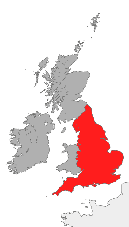
| Sıpatlama | map showing the area of England in relation to Great Britain and Ireland |
| Sáne | |
| Fayl deregi | Óz dóretiwshilik jumısım |
| Avtor | Cnbrb |
| SVG genesis |
Licenziyalaw
| I, the copyright holder of this work, release this work into the public domain. This applies worldwide. In some countries this may not be legally possible; if so: I grant anyone the right to use this work for any purpose, without any conditions, unless such conditions are required by law. |
Fayl tariyxı
Aldın usı fayl qanday kóriniste bolǵanın kóriw ushin kún-ay/waqıt degendi basıń.
| Sáne/Waqıt | Miniatyurası | Ólshemleri | Paydalanıwshı | Pikir | |
|---|---|---|---|---|---|
| házirgi | 18:39, 2007 j. oktyabrdiń 20 | | 675 × 1180 (150 КБ) | Cnbrb | == Summary == {{Information |Description=map showing the area of England in relation to Great Britain and Ireland |Source=self-made |Date=2007-20-09 |Author= Cnbrb }} Category:Locator maps of countries of the United Kingdom [[Category: |
Fayldıń paydalanılıwı
Tómendegi dana bette bul fayl paydalanılǵan:
Fayldı global paydalanıw
Tómendegi basqa wikilar bul fayldan paydalanadı:
- ar.wikipedia.org joybarında qollanıw
- ast.wiktionary.org joybarında qollanıw
- cs.wikipedia.org joybarında qollanıw
- en.wikipedia.org joybarında qollanıw
- es.wikipedia.org joybarında qollanıw
- fr.wikipedia.org joybarında qollanıw
- hr.wiktionary.org joybarında qollanıw
- hu.wikipedia.org joybarında qollanıw
- id.wikipedia.org joybarında qollanıw
- it.wikipedia.org joybarında qollanıw
- ku.wikipedia.org joybarında qollanıw
- ro.wikipedia.org joybarında qollanıw
- ru.wikipedia.org joybarında qollanıw
- ss.wikipedia.org joybarında qollanıw
- tr.wikipedia.org joybarında qollanıw
- uk.wikipedia.org joybarında qollanıw
- vi.wikipedia.org joybarında qollanıw
- zh.wikipedia.org joybarında qollanıw