
Fayl:Georgia location map.svg

Size of this PNG preview of this SVG file: 800 × 426 пиксел. Basqa rezolyutsiyalar: 320 × 170 пиксел | 640 × 341 пиксел | 1024 × 545 пиксел | 1280 × 681 пиксел | 2560 × 1363 пиксел | 1715 × 913 пиксел.
Túp fayl (SVG fayl, 1715 × 913 piksel belgilengen, fayldıń ólshemi: 141 КБ)
Juwmaq
| Sıpatlama |
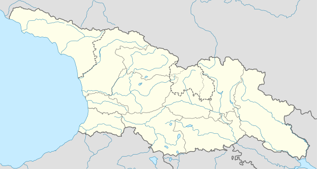
Deutsch: Positionskarte von Georgien
Quadratische Plattkarte, N-S-Streckung 135 %. Geographische Begrenzung der Karte:
English: Location map of Georgia
Equirectangular projection, N/S stretching 135 %. Geographic limits of the map:
|
| Sáne | |
| Fayl deregi |
Óz dóretiwshilik jumısım, using
|
| Avtor | NordNordWest |
| Ruqsat (Bul fayldan qayta paydalanıw) |
Мен бұл туындының авторымын, келесі лицензия аясында бұны жариялаймын: Bul fayl Creative Commons tiykarında licenziyalanǵan org/licenses/by-sa/3.0/deed.en Attribution-Share Alike 3.0 Unported licenziyası.
|
| Басқа нұсқалары |
|


Fayl tariyxı
Aldın usı fayl qanday kóriniste bolǵanın kóriw ushin kún-ay/waqıt degendi basıń.
| Sáne/Waqıt | Miniatyurası | Ólshemleri | Paydalanıwshı | Pikir | |
|---|---|---|---|---|---|
| házirgi | 10:13, 2018 j. oktyabrdiń 28 | | 1715 × 913 (141 КБ) | NordNordWest | Reverted to version as of 11:58, 25 May 2013 (UTC), COM:OVERWRITE |
| 09:14, 2018 j. oktyabrdiń 28 |  | 1715 × 913 (147 КБ) | Lamensi | De facto independence | |
| 11:58, 2013 j. maydıń 25 |  | 1715 × 913 (141 КБ) | NordNordWest | Reverted to version as of 16:47, 24 July 2011, COM:OVERWRITE, too important to change without discussion | |
| 11:58, 2013 j. maydıń 25 |  | 1715 × 913 (141 КБ) | NordNordWest | Reverted to version as of 16:47, 24 July 2011, COM:OVERWRITE, too important to change without discussion | |
| 22:49, 2013 j. maydıń 24 |  | 1715 × 913 (149 КБ) | Giorgi Balakhadze | South Ossetian Autonomous Region was revoked on December 10, 1990 by the Supreme Soviet of the Georgian SSR. So it's not correct to show it in modern maps. [http://en.wikipedia.org/wiki/South_Ossetian_Autonomous_Oblast] | |
| 16:47, 2011 j. iyuldıń 24 |  | 1715 × 913 (141 КБ) | NordNordWest | corr | |
| 08:31, 2009 j. sentyabrdiń 10 |  | 1716 × 913 (270 КБ) | NordNordWest | ||
| 20:46, 2009 j. sentyabrdiń 9 |  | 1716 × 879 (271 КБ) | NordNordWest | =={{int:filedesc}}== {{Information |Description= {{de|Positionskarte von Georgien}} Quadratische Plattkarte, N-S-Streckung 130 %. Geographische Begrenzung der Karte: * N: 43.7° N * S: 40.9° N * W: 39.8° O * O: 46.9° O {{en|Location ma |
Fayldıń paydalanılıwı
Tómendegi dana bette bul fayl paydalanılǵan:
Fayldı global paydalanıw
Tómendegi basqa wikilar bul fayldan paydalanadı:
- af.wikipedia.org joybarında qollanıw
- an.wikipedia.org joybarında qollanıw
- ast.wikipedia.org joybarında qollanıw
- av.wikipedia.org joybarında qollanıw
- azb.wikipedia.org joybarında qollanıw
- az.wikipedia.org joybarında qollanıw
- Qaqra
- Tbilisi
- Faxralı
- Dmanisi
- Kəpənəkçi (Bolnisi)
- Sadaxlı
- Kəpənəkçi (Sarvan)
- Saraçlı (Borçalı)
- Qızılhacılı (Marneuli)
- İmirhəsən
- Yırğançay
- Qoçulu (Borçalı)
- Aşağı Qarabulaq
- Yuxarı Qarabulaq
- Arıxlı
- Rustavi
- Səfərli (Başkeçid)
- Aşağı Oruzman
- Soğanlıq
- Marabda
- Söyüdlü (Başkeçid)
- Qaracalar (Qarayazı)
- Salamməlik
- Saqareco
- Məmişlər (Başkeçid)
- Tbilisi Azərbaycan Teatrı
- Təkəli (Marneuli)
- Ağaməmmədli (Marneuli)
Bul fayldıń kóbirek global paydalanıw bólimin kóriń.