
Fayl:Switzerland location map.svg

Size of this PNG preview of this SVG file: 800 × 513 пиксел. Basqa rezolyutsiyalar: 320 × 205 пиксел | 640 × 410 пиксел | 1024 × 657 пиксел | 1280 × 821 пиксел | 2560 × 1642 пиксел | 1349 × 865 пиксел.
Túp fayl (SVG fayl, 1349 × 865 piksel belgilengen, fayldıń ólshemi: 258 КБ)
Juwmaq
| Sıpatlama |
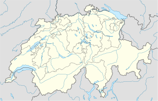
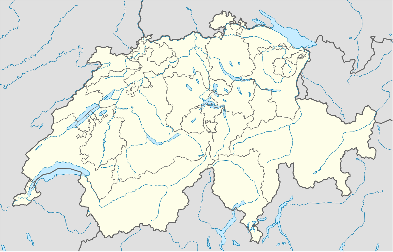
Deutsch: Positionskarte der Schweiz
Quadratische Plattkarte, N-S-Streckung 146,138 %. Geographische Begrenzung der Karte:
English: Location map of Switzerland
Equirectangular projection, N/S stretching 146,138 %. Geographic limits of the map:
|
| Sáne | |
| Fayl deregi |
Óz dóretiwshilik jumısım, using
|
| Avtor | NordNordWest |
| Басқа нұсқалары |
Derivative works of this file: Location of Battle of Winterthur 1799.svg
|
| SVG genesis | This map was created with unknown tool. | style="margin:0.5em;" | This map has been made or improved in the German Kartenwerkstatt (Map Lab). You can propose maps to improve as well.
|} |
_location_map.svg)


Licenziyalaw
Мен бұл туындының авторымын, келесі лицензия аясында бұны жариялаймын:
Bul fayl Creative Commons tiykarında licenziyalanǵan org/licenses/by-sa/3.0/deed.en Attribution-Share Alike 3.0 Unported licenziyası.
- Siz bossız:
- Bólisiw – Jumıstı nusqalaw, tarqatıw hám uzatıw
- Remiks qılıw – Jumısqa beyimlesiw
- Tómendegi shártler tiykarında :
- atribut – Siz tiyisli kredit beriwińiz, licenziyaǵa siltemeni usınıwıńız hám ózgertiwler kiritilgenligin kórsetiwińiz kerek. Siz bunı hár qanday aqılǵa say jol menen etiwińiz múmkin, biraq licenziar sizdi yamasa siziń paydalanıwıńızdı maqullawın usınıs etetuǵın tárizde emes.
- birdey shártlerde taratıw – Eger siz materialdı remiks qılsańız, ózgertseńiz yamasa oǵan tiykarlansańiz, óz úleslerińizdi túp nusqadaǵı sıyaqlı birdey yamasa uyqas licenziya tiykarında tarqatıwıńız kerek.
Gallery
-
 relief
 -
 default
 -
 image1
 -
 image2
 -
 relief1
 -
 relief2
 -
 relief3


Fayl tariyxı
Aldın usı fayl qanday kóriniste bolǵanın kóriw ushin kún-ay/waqıt degendi basıń.
| Sáne/Waqıt | Miniatyurası | Ólshemleri | Paydalanıwshı | Pikir | |
|---|---|---|---|---|---|
| házirgi | 22:50, 2017 j. dekabrdiń 17 | | 1349 × 865 (258 КБ) | Reinhard Kraasch | Verlauf des Doubs korrigiert |
| 09:51, 2009 j. dekabrdiń 4 |  | 1349 × 865 (260 КБ) | NordNordWest | c | |
| 08:27, 2009 j. avgusttıń 12 |  | 1349 × 888 (255 КБ) | NordNordWest | no improvement, no changes without discussion about it | |
| 08:07, 2009 j. avgusttıń 12 |  | 1349 × 888 (260 КБ) | Lukasb1992 | borders of cantons | |
| 17:03, 2009 j. iyunnıń 16 |  | 1349 × 888 (255 КБ) | NordNordWest | {{Information |Description= {{de|Positionskarte der Schweiz}} Quadratische Plattkarte, N-S-Streckung 150 %. Geographische Begrenzung der Karte: * N: 47.9° N * S: 45.75° N * W: 5.8° O * O: 10.7° O {{en|Location map of [[:en:Switzerland| |
Fayldıń paydalanılıwı
Tómendegi dana bette bul fayl paydalanılǵan:
Fayldı global paydalanıw
Tómendegi basqa wikilar bul fayldan paydalanadı:
- af.wikipedia.org joybarında qollanıw
- am.wikipedia.org joybarında qollanıw
- ar.wikipedia.org joybarında qollanıw
- arz.wikipedia.org joybarında qollanıw
- av.wikipedia.org joybarında qollanıw
- az.wikipedia.org joybarında qollanıw
- Bern
- Cenevrə
- Sankt-Morits
- Şablon:Yer xəritəsi İsveçrə
- Sürix
- Qruyer
- Lozanna
- Sitqlogge
- Müqəddəs Ruh kilsəsi (Bern)
- İsveçrə Federal sarayı
- Bil
- Nyon
- Çuq (kanton)
- Bergün
- Bazel
- La-Şo-de-Fon
- Lütsern
- Fluntern qəbiristanlığı
- Davos
- Qraubünden
- Arqau
- Bua-de-Vo qəbiristanlığı
- Vo (kanton)
- Vil (Sankt-Qallen)
- Sankt-Qallen (kanton)
- Lauterbrunnen
- Vintertur
Bul fayldıń kóbirek global paydalanıw bólimin kóriń.